


More in Uncategorized
-
Defensive back Jaiden Francois, a 2020 Husker signee from Florida, has entered his name in the NCAA transfer portal. | Discuss
Defensive back Jaiden Francois, a 2020 Husker signee from Florida, has entered his name...
-
July will be crunch time when it comes to decisions about the 2020 football season, Bill Moos says.
July will be crunch time when it comes to decisions about the 2020 football...
-
Nebraska is choosing not to share COVID-19 testing results.
Nebraska is choosing not to share COVID-19 testing results. The post Nebraska is choosing...
-
Tom Shatel says the 2020 season is likely to be rife with unpredictable turns due to coronavirus issues. | Athlon: Hypothetical schedule
Tom Shatel says the 2020 season is likely to be rife with unpredictable turns...
-
Husker offensive tackle commit Teddy Prochazka hasn’t been missing his workouts and is continuing to grow.
Husker offensive tackle commit Teddy Prochazka hasn’t been missing his workouts and is continuing...
-
The Poloma Podcast By Jay Foreman: NFL Free Agency Winners, Losers, And The New CBA Agreement
He talks about sports. That’s rare right now. Jay Foreman has a new version...
-
Athlon lists Cincinnati at Nebraska as one of the Big Ten’s 10 most intriguing nonconference games of 2020.
Athlon lists Cincinnati at Nebraska as one of the Big Ten’s 10 most intriguing...
-
Former Husker assistants Ross Els and Ted Gilmore are part of the new staff under Mel Tucker at Michigan State.
Former Husker assistants Ross Els and Ted Gilmore are part of the new staff...
-
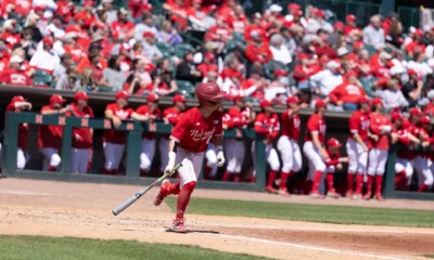
Nebraska Baseball Travels to Baylor
Still no home opener in sight The Nebraska baseball team (4-6) travels to Waco,...


You must be logged in to post a comment Login